
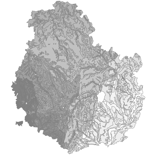
Unités Cartographiques de Sol de Cote-d'Or
Unités Cartographiques de Sol qui délimitent les pédopaysages inventoriés lors de la réalisation du Référentiel Régional Pédologique (RRP Bourgogne) dans le cadre du programme Inventaire Gestion et Conservation des Sols (IGCS). UCS de Côte d'Or. Les données sémantiques peuvent être mise à disposition sous convention, contacter le producteur.
|
|
Citation proposal
(2005) . Unités Cartographiques de Sol de Cote-d'Or. https://inspire.ternum-bfc.fr/geonetwork/srv/api/records/febd9902-b023-4614-a5e8-0b9d26fccfb3 |
Simple
- Date ( Revision )
- 2022-05-17
- Date ( Publication )
- 2005-01-01
- Date ( Creation )
- 2005-01-01
Identifier
No information provided.
Identifier
No information provided.
Owner
- Contact instructions
- logo
- Maintenance and update frequency
- notPlanned Not planned
- Keywords ( Theme )
-
- pédologie
- Keywords ( Theme )
-
- pédopaysages
- Keywords ( Theme )
-
- Référentiel Régional Pédologique
- Keywords ( Theme )
-
- UCS
- Keywords ( Theme )
-
- sols
- Keywords
-
- RRP
- GEMET - INSPIRE themes, version 1.0 ( Theme )
-
- Soil
- Use limitation
- Access constraints
- otherRestrictions Other restrictions
- Access constraints
- otherRestrictions Other restrictions
- Access constraints
- otherRestrictions Other restrictions
- Use constraints
- otherRestrictions Other restrictions
- Other constraints
- Pas de restriction d'accès public selon INSPIRE
- Classification
- unclassified Unclassified
- Spatial representation type
- vector Vector
- Denominator
- 250000
- Metadata language
- fre French
- Character set
- utf8 UTF8
- Topic category
-
- Geoscientific information
- Planning cadastre
- Description
- Côte-d'Or
N
S
E
W
))
- Reference system identifier
- EPSG / 2154
- Distribution format
-
- shapefile (1 )
- Hierarchy level
- dataset Dataset
- Statement
- Bibliographie - Analyses spatiales - Inventaire de terrain - Études des sols avec sondage - Analyse physico-chimique - NumérisationUtilisation libre sous réserve de mentionner la source (a minima le nom du producteur) et la date de sa dernière mise à jour.Des données sémantiques complètent la couche graphique. Elles peuvent être obtenues après signature d'une convention.
- Date
gmd:MD_Metadata
- File identifier
- febd9902-b023-4614-a5e8-0b9d26fccfb3 XML
- Metadata language
- fre French
- Character set
- utf8 UTF8
- Hierarchy level
- dataset Dataset
- Date stamp
- 2022-05-17
- Metadata standard name
- ISO 19115/19139
- Metadata standard version
- Cor 1:2006
Author
- Contact instructions
- logo
Overviews
Provided by

Views
febd9902-b023-4614-a5e8-0b9d26fccfb3
Access to the portal
Read here the full details and access to the data.
Associated resources
Not available